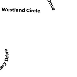
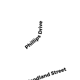
3 MARY DRIVE
Owner Information
IGE OLUWASEGUN & OLUFISAYO
3 MARY DRIVE
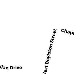
WEST BOYLSTON, MA 01583


Property Details
3 MARY DRIVE is classified as a Single Family Residential (Ranch).
The primary structure on this property was built in 1976. There are 4,624ft2 of built area within this property. There is 1,914ft2 of residential/living space within this property. This property is listed as having 7 rooms.
3 MARY DRIVE is valued at $432,200. The land is valued at $131,900 and the structures are valued at $290,900. There is an additional valuation of $9,400 on this property.
This property is in Zone SR. Confirm with local Zoning Board authorities to ensure there are no overlays or other easements on this property.
The most recent deed for 3 MARY DRIVE is recorded at the local registrar in Book 46721, Page 0330. 3 MARY DRIVE was last sold on Monday, November 29, 2010 for $100.
Assessment data from fiscal year 2022.
Flood Data
According to the FEMA National Flood Hazard Layer, this property does not appear to be in a flood zone. It may also be in an area not yet reviewed. Nonetheless, confirm this information prior to taking any action.
To view the flood hazards around this property, create a FEMA "Firmette" Map of the area around 3 MARY DRIVE.
Broadband Internet Providers
| Provider | Type | Bandwidth (mbps) | |
|---|---|---|---|
| Crown Castle Fiber | Fiber | 0 | 0 |
| MCI | Copper Wire | 0 | 0 |
| Viasat Inc | Satellite | 100 | 3 |
| Verizon New England Inc. | DSL | 15 | 1 |
| Charter Communications Inc | Cable | 940 | 35 |
| T-Mobile | Fixed Wireless | 25 | 3 |
| GCI Communication Corp. | Satellite | 0 | 0 |
| HughesNet | Satellite | 25 | 3 |
| VSAT Systems, LLC. | Satellite | 2 | 1 |
Broadband service provider data from December 2020.
Adjacent Properties
- 9 MARY DRIVE
Single Family Residential owned by AUGER LINDA - 2 MARY DRIVE
Single Family Residential owned by DOWD PHILIP J & JOHN P TRUSTEES - 21 WESTLAND CIRCLE
Single Family Residential owned by MORRISSEY WILLIAM F - 15 WESTLAND CIRCLE
Single Family Residential owned by FLYNN TRUSTEE, SANDRA V - 13 WESTLAND CIRCLE
Single Family Residential owned by BUCKLEY, KARA C - 3 WESTLAND CIRCLE
Single Family Residential owned by GIGLIOTTI MICHAEL